We are no longer driving hikers to the Southern Terminus of the PCT. There are a few options to get there:
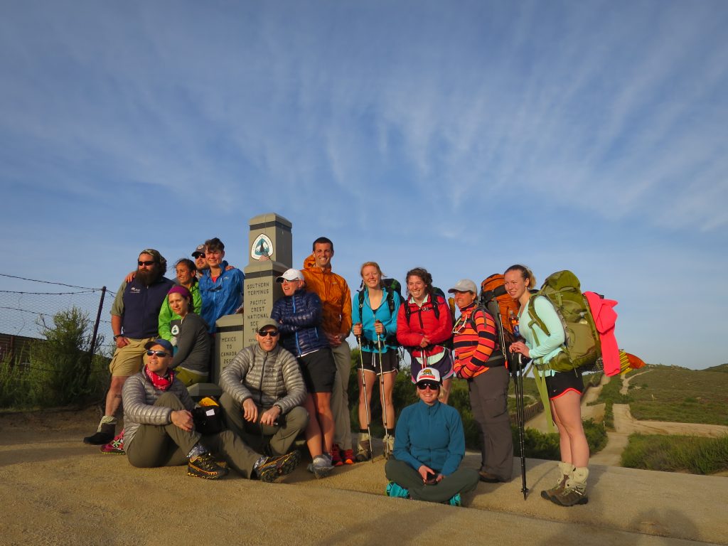
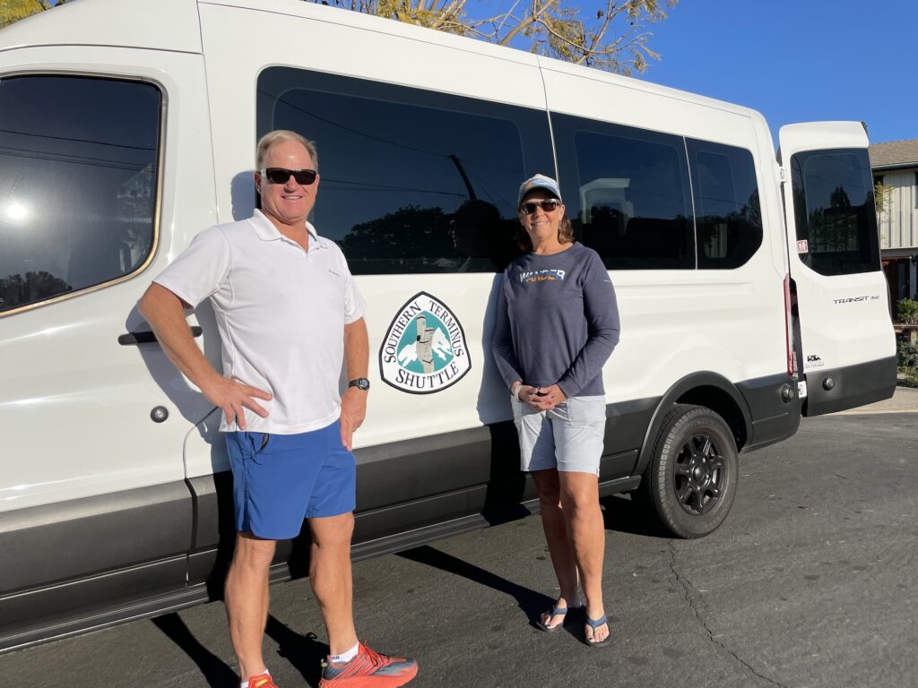
1) Use the “PCT Southern Terminus Shuttle,” run by Dee and Paul Milosch. They are doing a great job and look like they’re in this for the long haul, so we want to support them. They will pick you up at the Old Town Transit Center (the free “Flyer” bus will drive you there from the airport), make a brief stop at REI, then drive one hour to Campo. They stop at the Campo Green Store and the Campo Post Office, then the CLEEF campground and the border monument. The charge for the shuttle service is $75.
You can choose to start hiking right away (if you arrive at the border on your permit date), or you can camp at the campground and get an early start the next morning. There is a $10 charge per person for the campground, and that includes breakfast (with waffles!). The campground has tent sites, a restroom, WiFi, charging stations, and a firepit area.
2) On weekdays you can take public transit. The bus to Campo does not run on weekends. For an overview, you should check out Marmalade’s very helpful YouTube video on this topic.
From wherever you are, get yourself to the Old Town Transit Center; ((the free “Flyer” bus will drive you there from the airport). Then take the Green Trolley to the El Cajon Transit Center, then bus #894 to Campo. The Green Trolley runs every 15 min, takes 40 min, and costs $2.50. Bus #894 leaves the El Cajon Transit Center on weekdays at 8:30 am, 3:49 pm, and 5:45 pm, and takes about one hour and 45 min to get to Campo. It costs $8. So plan on at least 3 hours for public transit.
Across the road from the bus stop at Forest Gate Rd is the Campo Green Store that is much better than a convenience store. They do sell canister fuel and water.
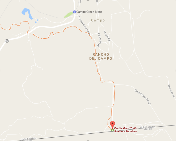
It’s a 1.6-mile walk from the bus stop to the southern terminus. Walk up Forest Gate Road. Across from the now-closed Youth Detention Center (a bit past the Border Patrol Station) you can get onto the trail itself and continue walking south to the border monument. See the map below– the orange line that crosses the road a few times is the actual trail. It actually is on the road for a short while.