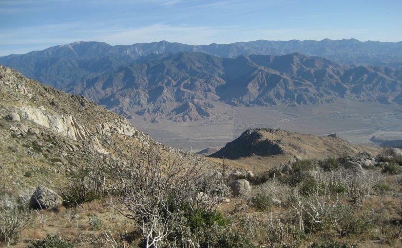
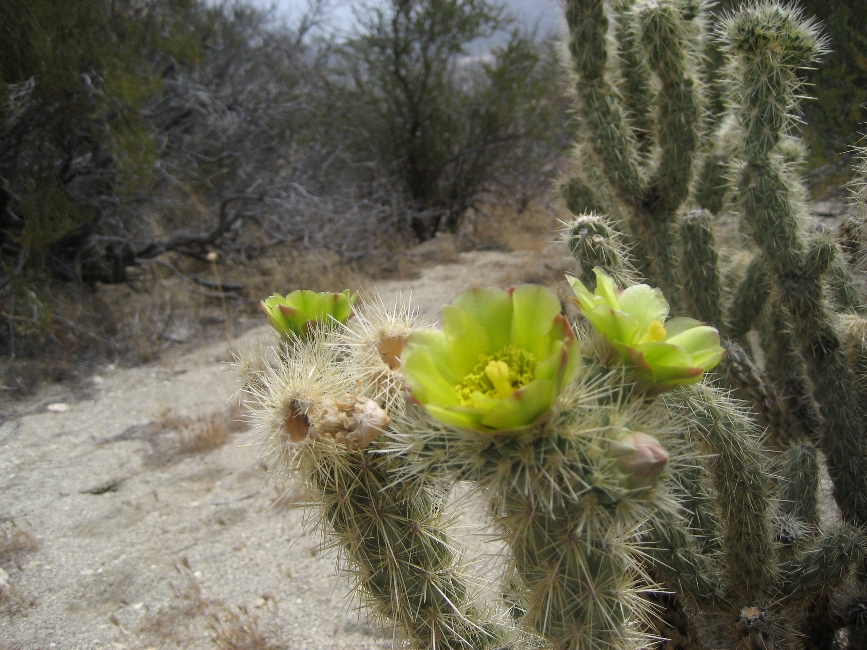
This may be different than the hiking you are used to. Much of the time you will be hiking in chaparral, which provides little shade and little water. But spring is the best time to hike here. The ceanothus is blooming and there are often carpets of poppies and other wildflowers. Some of the cactus also have beautiful blooms.
From the PCT border monument to the Lake Morena campground is 20 miles. This is usually waterless and virtually shadeless. Depending on the temperature and whether you use one or two days to hike this 20 miles, you will need to carry 4 to 7 liters of water. This is 8 to 15 pounds of water! Make sure you have capacity in your pack for so much water.
Since you have to carry so much water when you start out, consider carrying less food. 1) At Lake Morena (mile 20) there is a small store/grill, 2) At Mt. Laguna (mile 43) there are both a good convenience store that has plenty of hiker-type food and a post office to which you can ship a resupply box, 3) In Julian (hitchhike from Scissors Crossing at mile 77) there are both a grocery store and a post office, 4) In Warner Springs there is a gas station convenience store with some hot food, and a post office where you can ship a resupply package.
There are other sections in Southern California where you will have to carry large volumes of water. These days the best way to get current information on water availability is to use the FarOut app, formerly “Guthook,” which is crowd sourced. You may come across water caches, but you cannot count on these. The only water cache you can rely on is the Third Gate Cache at mile 91.
There are some challenges here. You will come across poison oak and poodle bush and likely rattlesnakes. Avoid the poison oak
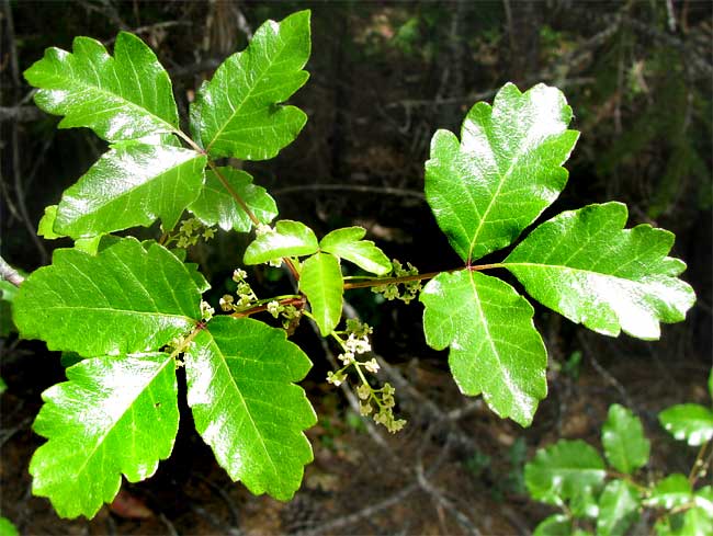
and poodle bush
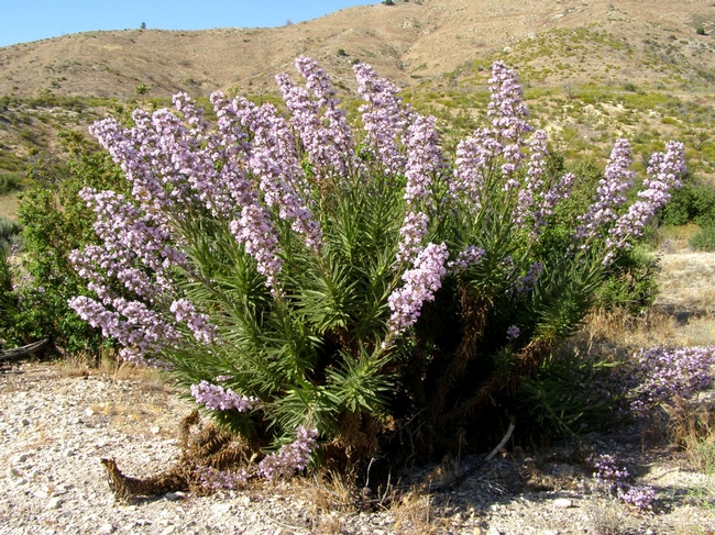
since they cause painful skin rashes. We know of no instances of hikers being bitten by rattlesnakes, though plenty of instances of hikers being surprised and spooked (including ourselves!).

Trail closures: in recent years there have been a number of trail closures in Southern California. Check here for the latest information on trail closures.
Trail Angels: Hiker Heaven (http://hikerheaven.com/ ) at mile 455 is no longer available to all hikers. The Saufleys have switched this to a business that takes a small number of reservations. Casa de Luna at mile 479 is closed as of 2020, and Ziggy and the Bear’s just north of Interstate 10 closed in 2018.